Yosemite Hikes Home
» Tioga Road
» Ten Lakes
» Trailhead Location
Ten Lakes Trail - Trailhead Location
Hike Distance: 13 miles (21 km) round trip to Ten Lakes; 12 miles (19 km) round trip to Grant Lakes
Trailhead Elevation: 7,520 feet (2,290 meters)
Peak Elevation: 9,640 feet (2,940 meters)
Trailhead-to-Peak Elevation Gain: 2,120 feet (645 meters)
Total Elevation Gain: 2,700 feet (820 meters)
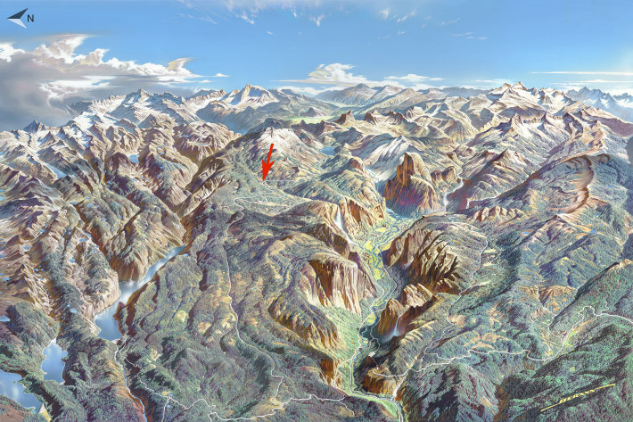
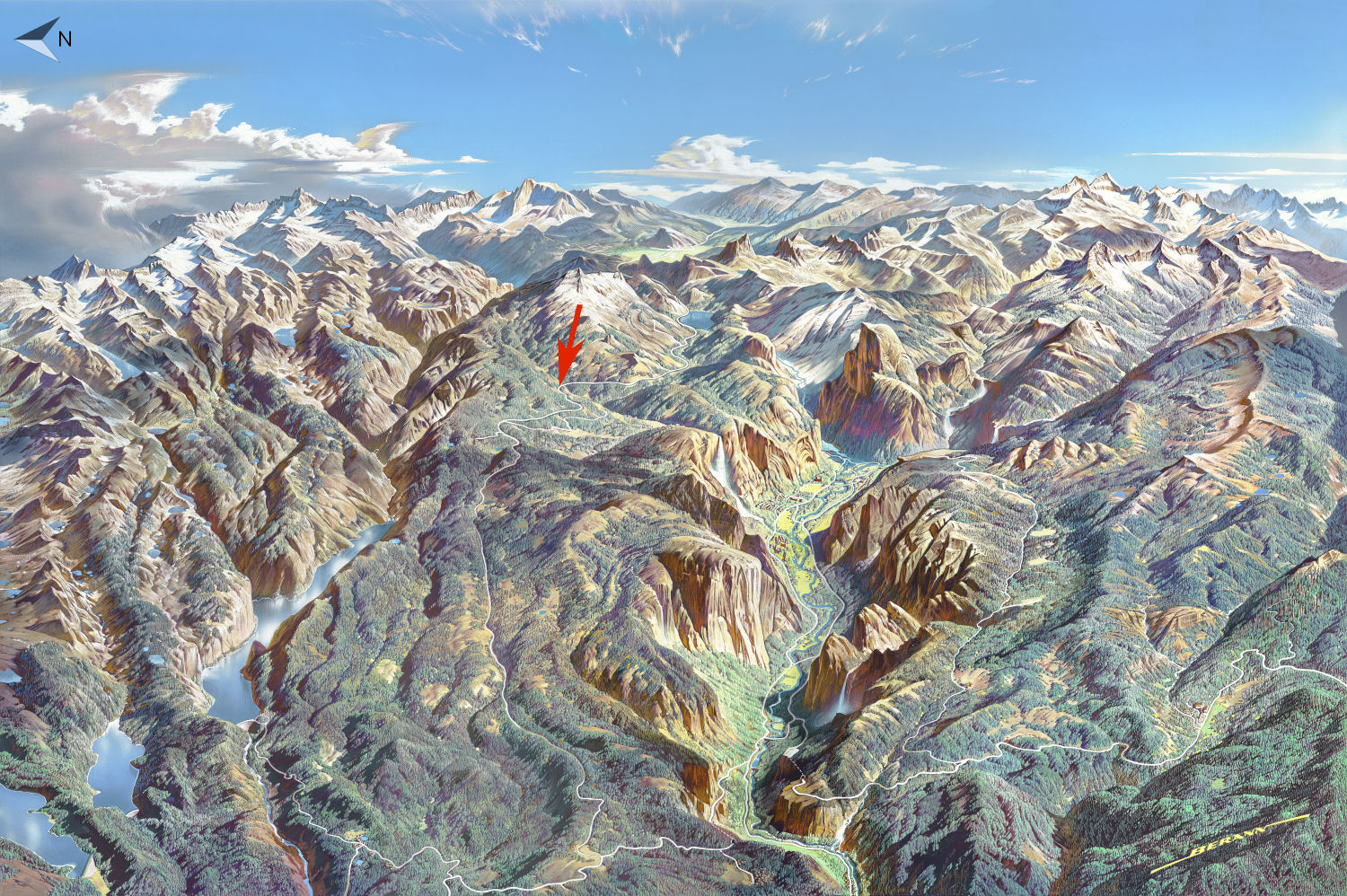
The Ten Lakes trailhead is 20 miles (32 km) east of Crane Flat (the Tioga Road's western terminus, visible at the bottom of the map), and 25 miles (40 km) west of Tioga Pass, Yosemite's eastern entrance (more or less at the horizon on the map). If you're arriving from the west, watch for the "Yosemite Creek/Ten Lakes" sign; there's parking on either side of the road, but the Ten Lakes trailhead is on the left (north) side. If you're coming from the east, look for the Yosemite Creek picnic area sign, then continue around the next corner and over the bridge, and the trailhead will be just ahead on your right. There's a trailhead on the south side of the road, too, but that one, for the Yosemite Creek Trail, heads south to the lip of Yosemite Falls, which you should be able to spot on the map above. Virtual Yosemite has a panorama of the Yosemite Creek trailhead.
If you're not on a mobile device or other small screen, you should be able to click on the map to pop up a larger version; if that doesn't work, here's a direct link to a bigger map.