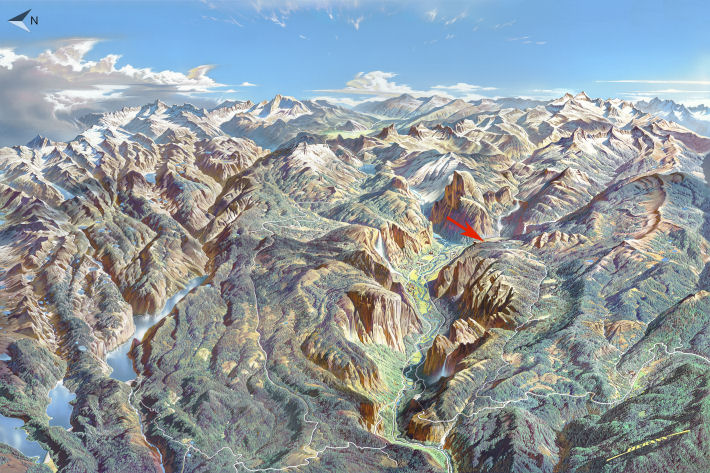
Glacier Point Trailhead Location
Original artwork by Heinrich Berann
This map nicely illustrates how the Glacier Point Road starts near the western end of Yosemite Valley and runs parallel to it before ending at Glacier Point, which looks out on the valley's eastern end and much more. Somehow the Glacier Point Road is 16 miles long while the valley itself is only 7 miles long; this could be due to pressure differences at higher elevations allowing substances to expand, or possibly just the road meandering a bit. Who can say? No doubt there are fine people on both sides and all we can do is teach the controversy.
The Glacier Point Road is well equipped with trailheads that lead to or include views looking down into the valley: besides Glacier Point, try the Pohono, Dewey Point, Taft Point, Sentinel Dome, and 4-Mile trails, none of which you are likely to regret.
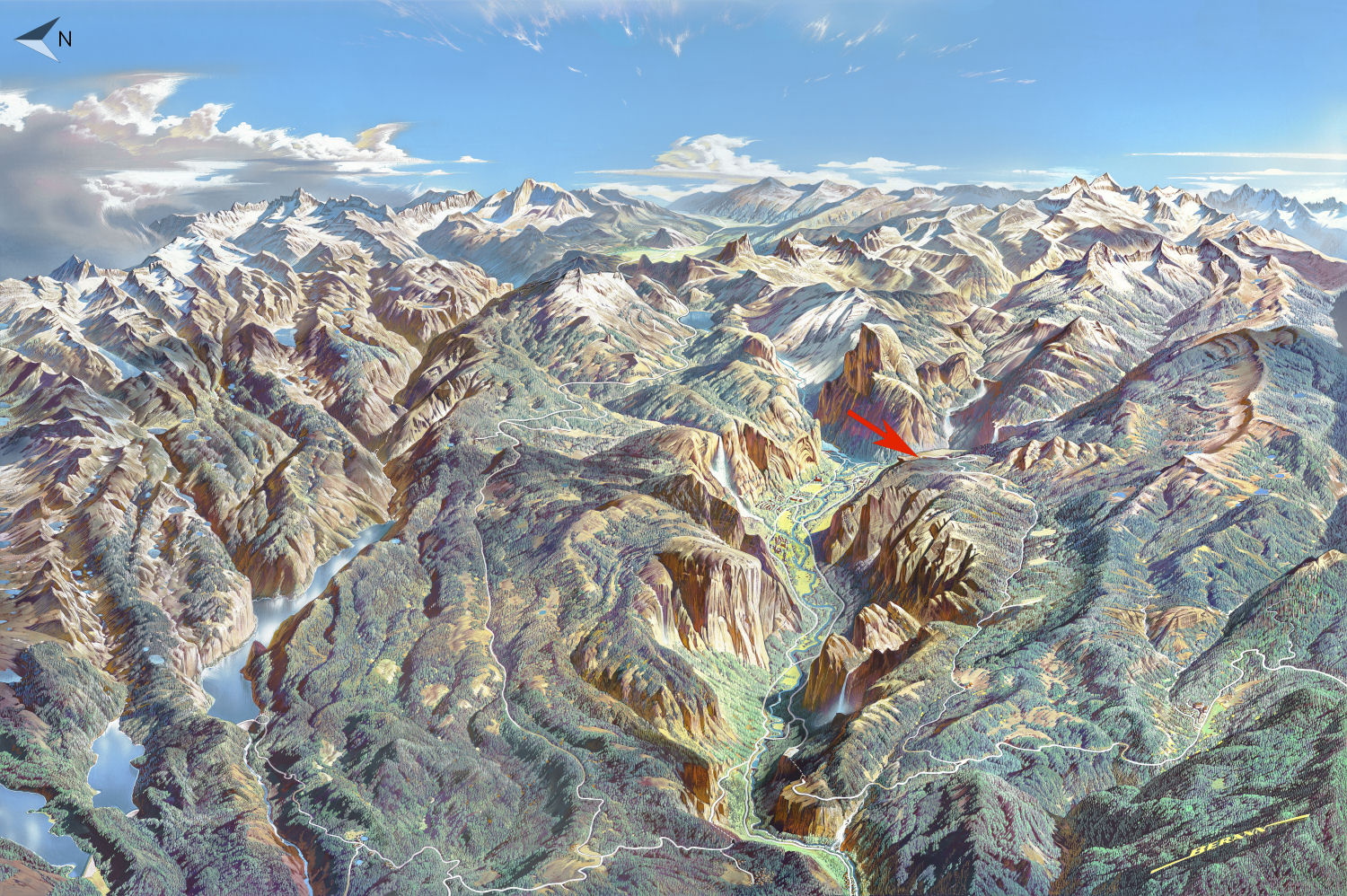
If you're not on a phone or other mini screen, you should be able to click on the map to see a larger version. Otherwise, here's a standalone larger version (warning: 500k download) that you can pinch and scroll around on to your heart's content.