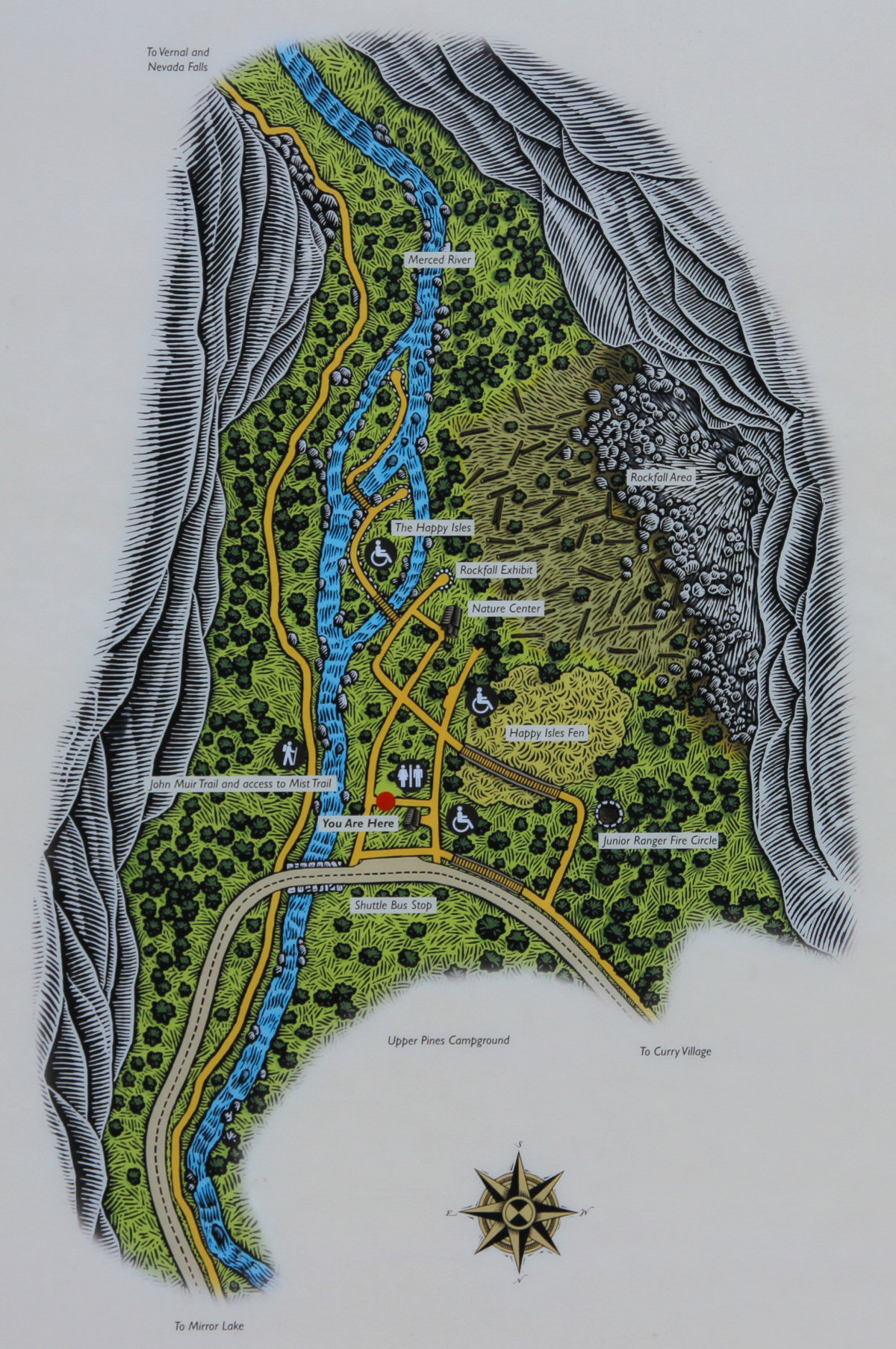
Happy Isles Trail Map (even larger version)
Distance: 0.5 miles (0.8 km) round trip from trailhead
Trailhead Elevation: 4,000 feet (1,220 meters)
Elevation Gain: Practically none
This is the trail map you'll find on display at the Happy Isles trailhead. It's possible that the "You Are Here" marker has mistaken your current position by upwards of 7,918 miles, but it's otherwise accurate, and besides, any map maker will tell you that this is well within accepted error bounds.
If you're troubled about why this map seems to bear no resemblance at all to the Happy Isles satellite view, it's because the cartographer, rejecting the arbitrary notions of up and down borne of humanity's bootless attempts to bring order to an increasingly entropic universe, has stuck north at the bottom.